|
The Mountain Pine Beetle in the Black Hills, South Dakota: The Consequences of Long-Term Fire Policy, Climate Change and the Use of Remote Sensing to Enhance Mitigation
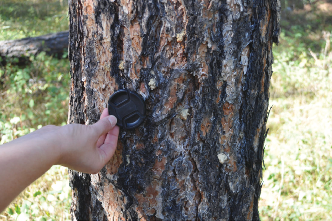
An outbreak of pine beetles impacted 400,000 cares of the 1.2 million acre Black Hills National Forest. We used satellite imagery and field based measurements to develop a method for more accurately predicting the trajectory of future outbreaks to more precisely target areas of mitigation.
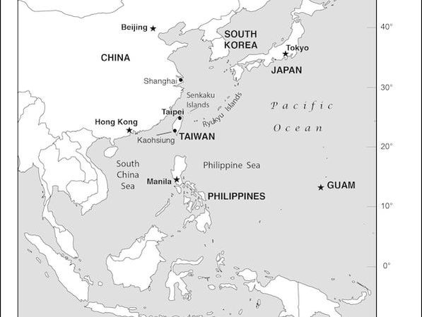
Read full article here Taiwan and China: A Geo-Strategic Reassessment of U.S. PolicyI examine the current status of U.S. policy pursuant to Taiwan and China and argue the assumptions and baseline conditions present when such policies formed no longer exist and a policy rooted in strategic ambiguity may likely increase the geopolitical miscalculations. As such US policies need reformulation to reflect current realities and long-standing American values per self-governance.
Read full article here |
The South China Sea: A Geopolitical AnalysisPublication details......
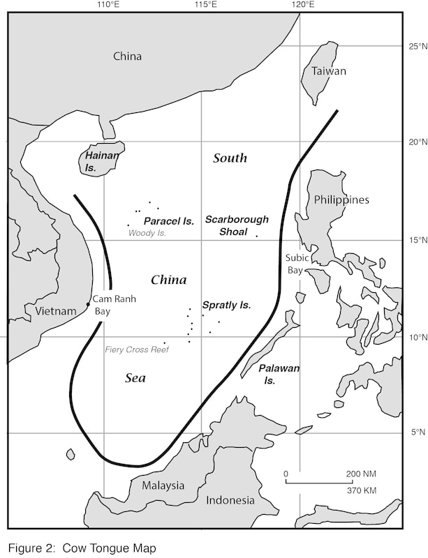
I examine the evolving geo-political capabilities to project force in the South China Sea as China builds a military capable of morphing the South China Sea into a landward extension of the Chinese mainland, while the United States faces lengthy logistics associated with being an expeditionary power. However, Chinese attempts to project force further into the Pacific will be greatly hindered as they enter the U.S./Japanese battlefield of WW II. Read full article here. |
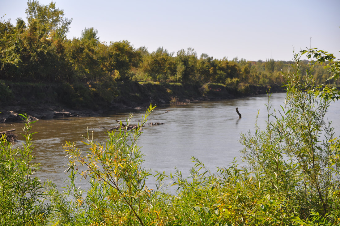
Long-Term Land Use and Land Cover Affected by the Conservation Reserve Program in the Minnesota River Valley, 1985-2013.We examine land use change in the Minnesota River Valley, 1985-2013 relative to Farm programs, most notably the Conservation Reserve Program (CRP) and the rise of a robust bio-fuel industry in Minnesota. The impacts of such changes on sedimentation and phosphorous loading relative to the Minnesota River were estimated. The analysis used a combination of field data, satellite-based coverages and published agricultural census information.
Read full article |
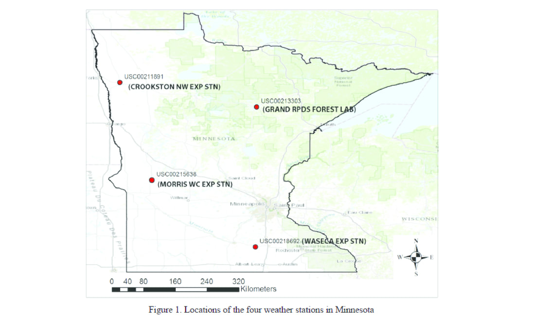
Long-Term Climate Change at Four Rural Stations in Minnesota, 1920-2010We examine temperature, precipitation and growing season trends of four rural weather stations representing NW, NE, SW and SE Minnesota and discusses plausible explanations though accurately weighting each exact causal variable warrants further research.
Read full article |
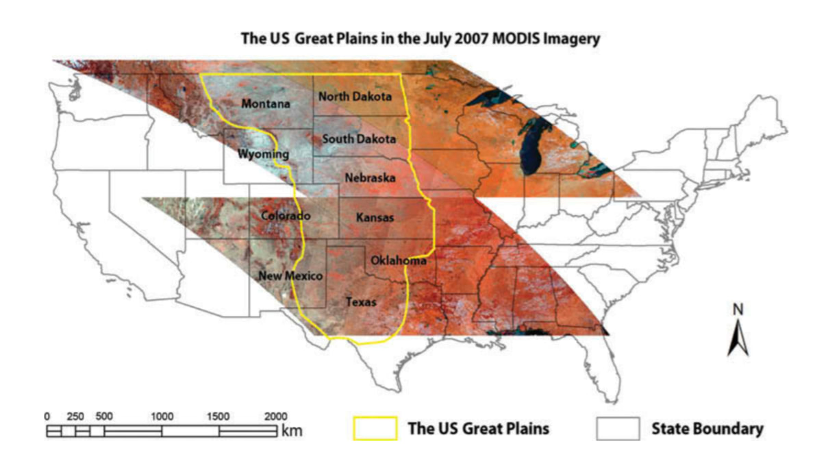
Spatial Patterns of Land Surface Phenology Relative to Monthly Climate Variations: U.S. Great PlainsWe extracted and mapped six land surface phenological metrics including: (1) the peak normalized difference vegetation index (NDVI), (2) peak date, (3) start of season (SOS), (4) end of season (EOS), (5) length of growing season (LOS), and (6) cumulative NDVI from 2000 to 2009 using Moderate-Resolution Imaging Spectroradiometer (MODIS) images covering the United States (US) Great Plains. Their patterns relative to monthly precipitation, maximum temperature, minimum temperature, and dew points were analyzed using multiple linear regression, stepwise selection, and geographically weighted regression (GWR) analysis.
Read full article |
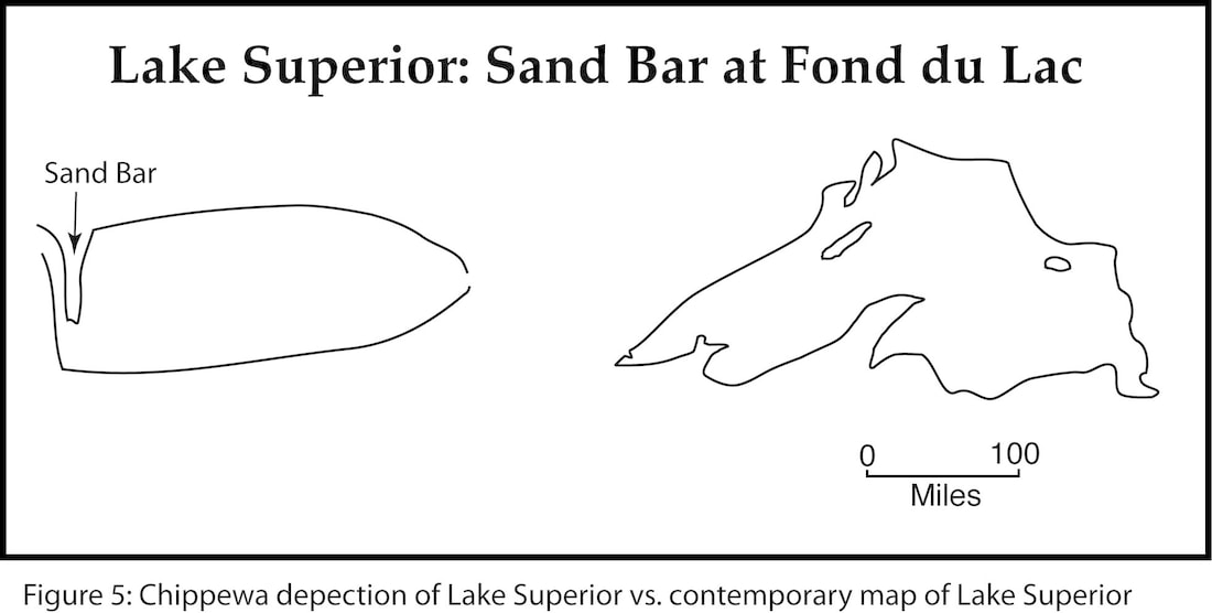
Using Mental Map Principles to Interpret American Indian CartographyI discuss how students can use mental mapping principles to interpret hard copies of American Indian maps and early European maps of North America derived from information garnered from American Indians.
Read full article |
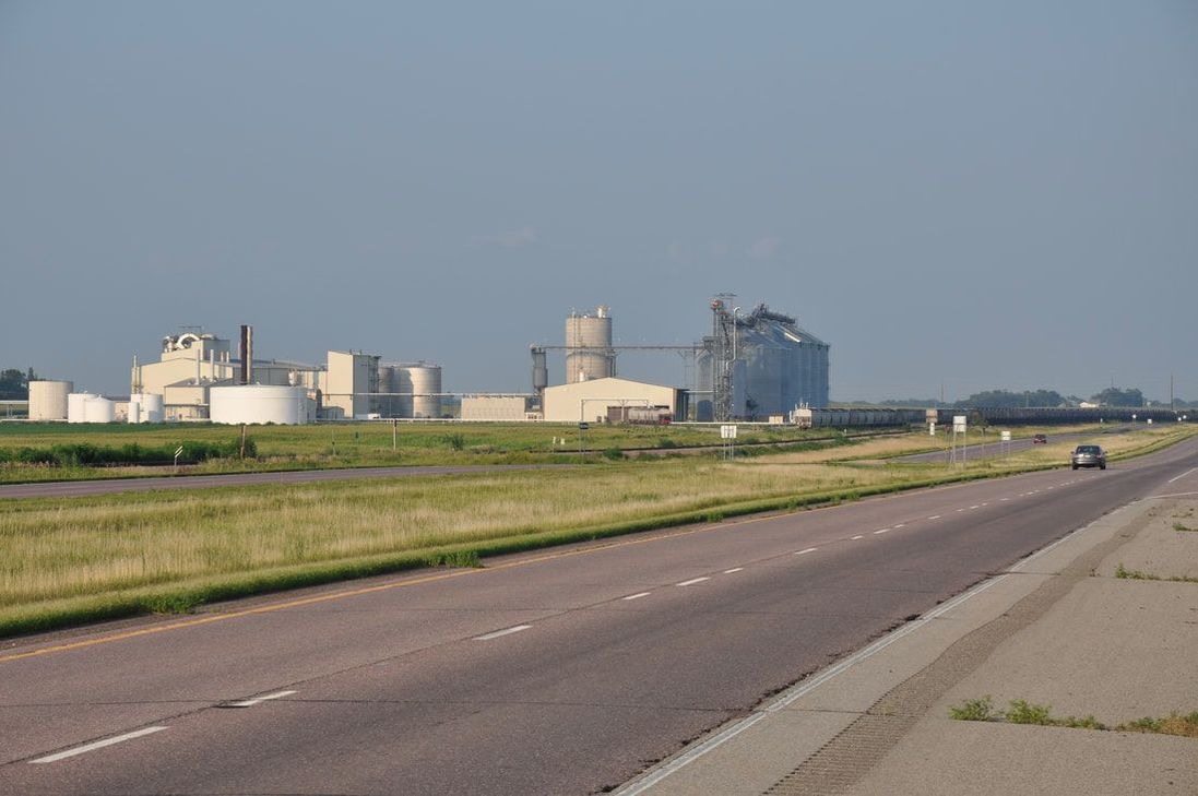
Southern Minnesota: An Evolving Alternate Energy FrontierI examine the rise of ethanol and bio-diesel relative to state and federal energy policies as they pertain to liquid fuels supplying the transportation sector of the U.S. economy. I also examine the rise of wind energy as a variable load supplier of electricity relative to state and federal energy policies and its the role relative to extended nuclear power base-load generation in Minnesota.
Read full article |
The Reintroduction and Range Expansion of Eastern Wild Turkeys in MinnesotaThis article assesses whether or not eastern wild turkeys were native to Minnesota. It then delves into the various attempts to reintroduce the extirpated species into Minnesota and how its range has expanded making both native and exotic. We also examine the role of hunting as an economic stimulus for rural locales and its use as means of governing the population and its spatial extent in Minnesota.
Read full article |
Assessing Forest Fire and Vegetation Recovery in the Black Hills, South DakotaUsing a combination of field survey data and satellite data (moderate and high-resolution) we quantify forest fire severity associated with the 83,508 acre Jasper Fire in 2000. We then examine vegetation recovery on light, moderate and heavily burnt sites seven years later at Jewel Cave National Monument.
Read full article |
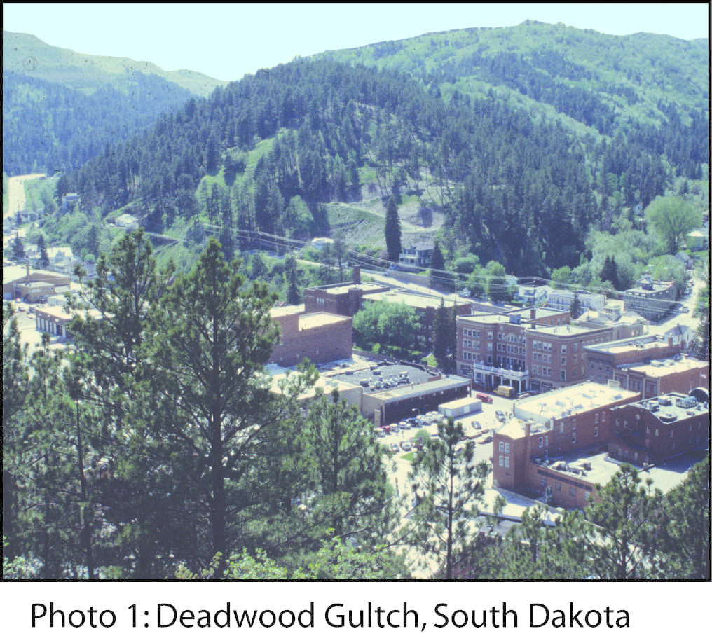
Deadwood South Dakota: Place and Setting Combine with Gambling and Historical PreservationI discuss the role of regional setting in the Black Hills and legalized gambling in the context of historical preservation as a means of reviving Deadwood South Dakota from 1989-2008. The article ends by questioning whether this revival can withstand a recession. Subsequent visits to Deadwood reveal that town survived the 2008/10 Great Recession and that gambling appears to be a sustainable economic base.
Read full article |
